-
Welcome to Tacoma World!
You are currently viewing as a guest! To get full-access, you need to register for a FREE account.
As a registered member, you’ll be able to:- Participate in all Tacoma discussion topics
- Communicate privately with other Tacoma owners from around the world
- Post your own photos in our Members Gallery
- Access all special features of the site
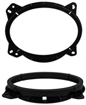
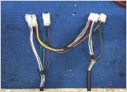 Any audio gurus/installers?
 SoCal members I need a favor in exchange for a sub enclosure
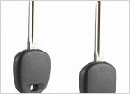 Good brick and mortar locksmith in OC
 Gears and Lockers
 Which of these trails is 2wheel drivable.
 ISO: spring compressor, SD
Red Canyon to Bradshaw Trail
Discussion in 'Southern California' started by Ray1989, Apr 16, 2019.