

-
Welcome to Tacoma World!
You are currently viewing as a guest! To get full-access, you need to register for a FREE account.
As a registered member, you’ll be able to:- Participate in all Tacoma discussion topics
- Communicate privately with other Tacoma owners from around the world
- Post your own photos in our Members Gallery
- Access all special features of the site
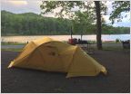 Camping Gear Recommendations
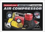 Airing down , airing up...
 What are yall doing for off grid coffee?
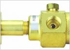 Powertank Alternative
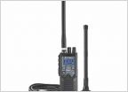 Handheld CB Radios
 Stock TRD level trails near Shaver Lake CA
New Apps for off road.
Discussion in 'Off-Roading & Trails' started by Cave Man, Jun 24, 2018.
Page 1 of 2
Page 1 of 2

