

-
Welcome to Tacoma World!
You are currently viewing as a guest! To get full-access, you need to register for a FREE account.
As a registered member, you’ll be able to:- Participate in all Tacoma discussion topics
- Communicate privately with other Tacoma owners from around the world
- Post your own photos in our Members Gallery
- Access all special features of the site
 CO TW Homebrewers
 Oil Filter Housing STUCK... need help!
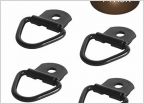 D rings
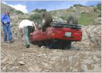 Beginner Colorado trails?
 Camping locations
 Anyone near Thornton (Denver-ish) have a Carista I can borrow?
Advice on trails and camping between Durango and Hwy 70 for upcoming summer trip
Discussion in 'Colorado' started by pearing, Nov 28, 2021.


